SMOKY VALLEY SCENIC BYWAY
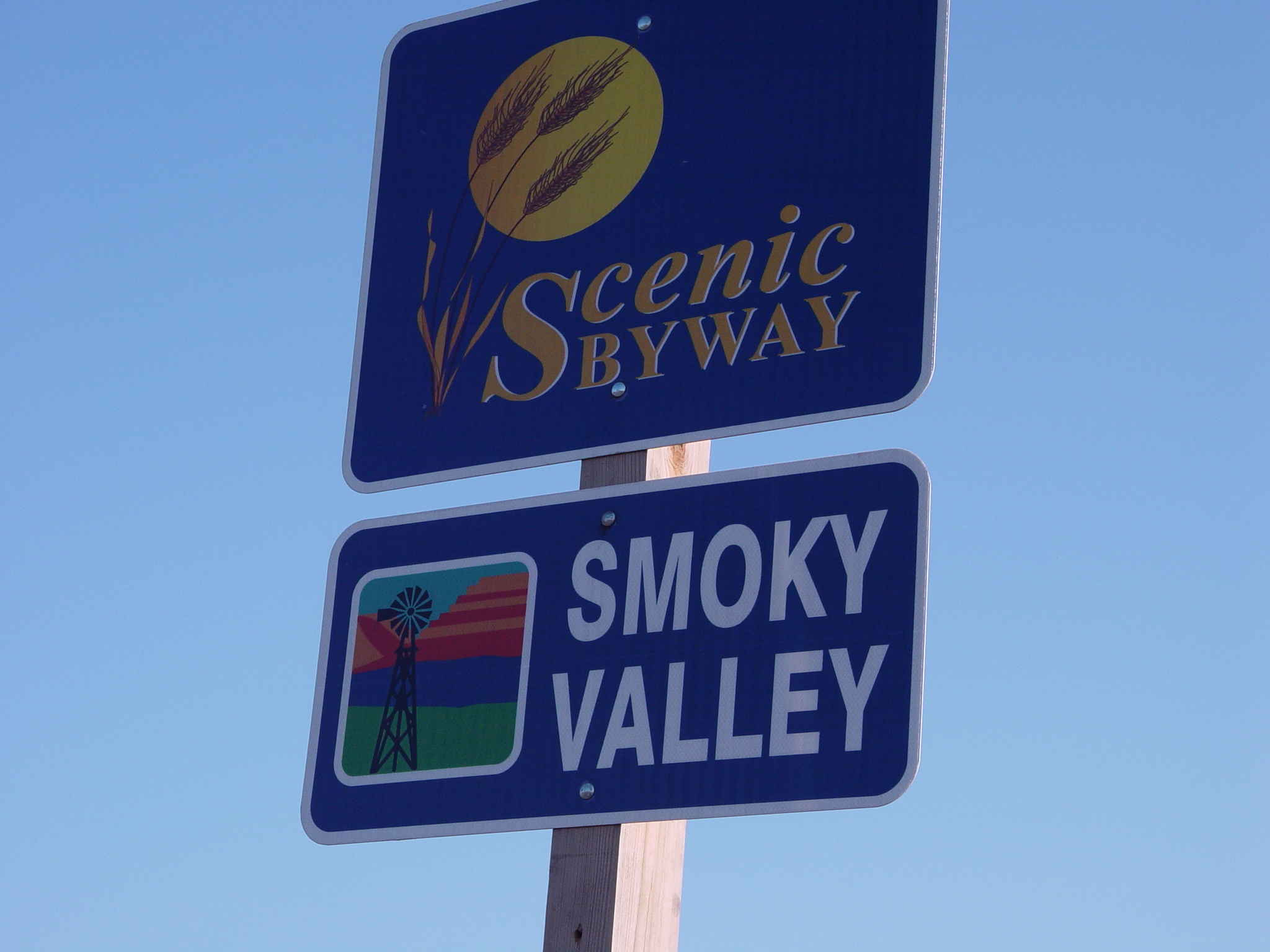
The Smoky Valley Scenic byway is a 60-mile horseshoe from KS I-70 Exit 134 Ogallah to Exit 127 WaKeeney by way of Hwy 147 and Hwy 283. Driving the byway offers many surprises in changing landscape with rock out croppings hinting at what lies in the foundation of the chalky limestone left by ancient seas. See what the pioneers and early settlers saw of the magnificent landscape with native grasses and wildflowers, and the Smoky Hills, named for their hazy blue-gray appearance at sunrise and sunset. Driving the byway offers some spectacular views. The Smoky Hills provide transition between the more easterly mixed-grass prairie and the short-grass of the Great Plains. The changing seasons of the byway feature different colors, crops growing and being harvested, along the byway.
There are over 34 geocaches along the Smoky Valley Scenic Byway to explore.
Butterfield Overland Despatch
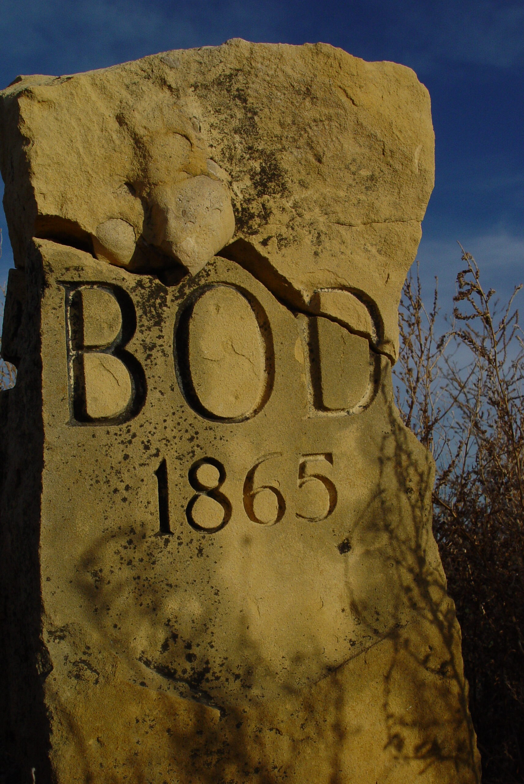
The byway crosses the historic Smoky Hill Trail. Butterfield Overland Despatch (BOD) was established along the trail at the end of the Civil War to carry goods and travelers, gold diggers and pioneers from Fort Leavenworth to Denver. Although it provided the shortest route to Denver, the trail was considered dangerous and travel often required the protection of troops stationed at Fort Hays. Carvings and markings can still be seen where travelers carved their names on the walls of Threshing Machine Canyon near Cedar Bluff State Park. Today, two limestone markers along the byway identify where the byway crosses the BOD trail.
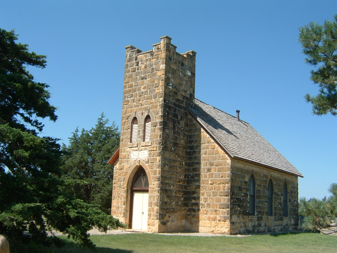
Emanuel Lutheran Church
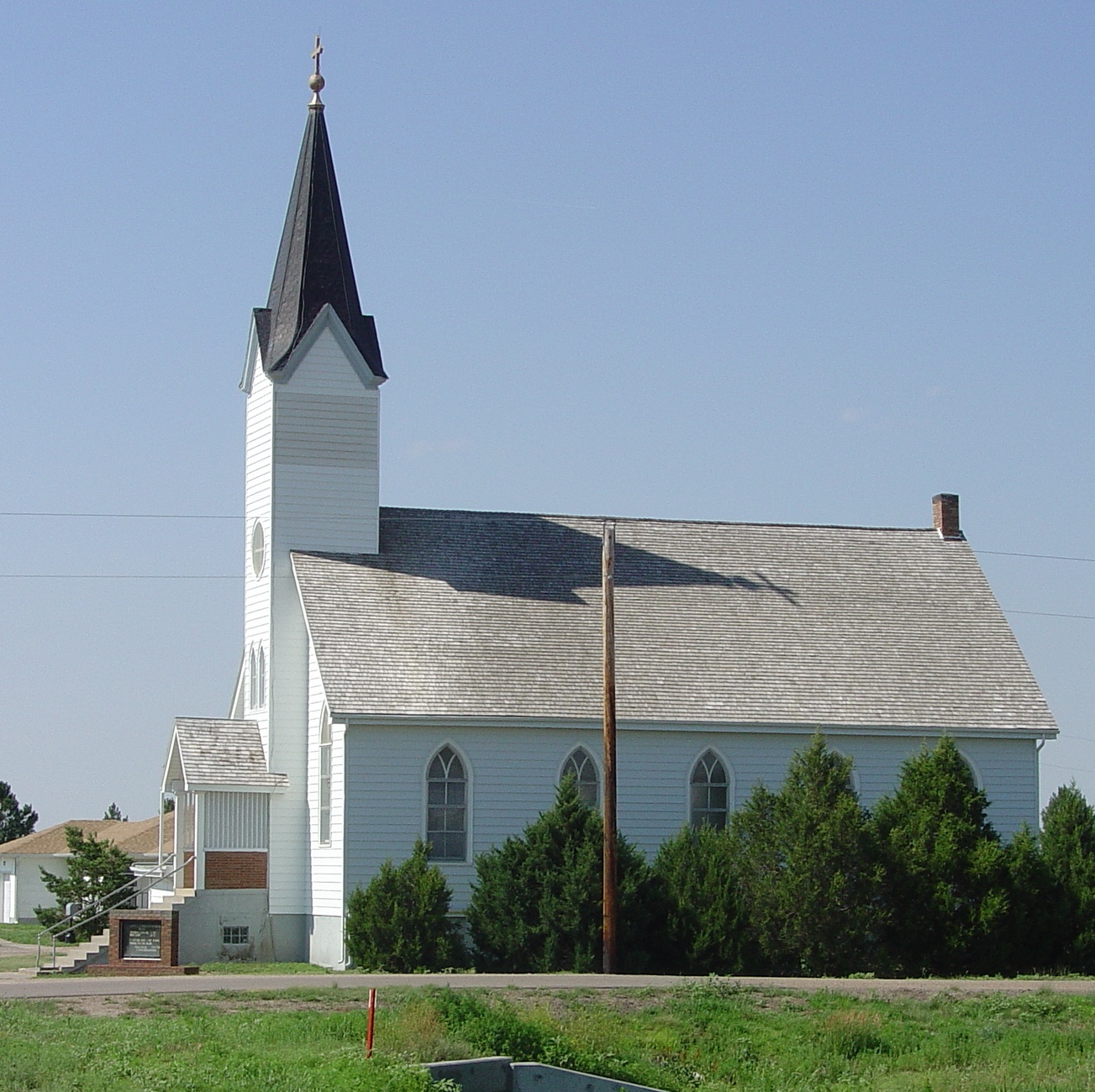
In the late 19th century, Swedish immigrants settled in southern Trego County. John Saleen arrived from Sweden, with his family, in 1896. He began building a church where a congregation could worship in Swedish. In 1902 the congregation laid the cornerstone of the newly formed Swedish Evangelical Emanuel Lutheran Church. The cornerstone and other quarried limestone from the church were quarried from nearby Threshing Machine Canyon and hauled to the construction site. The church was completed in 1904. Services were conducted in Swedish until 1920. Today the congregation still worships weekly, in English.
Threshing Machine Canyon
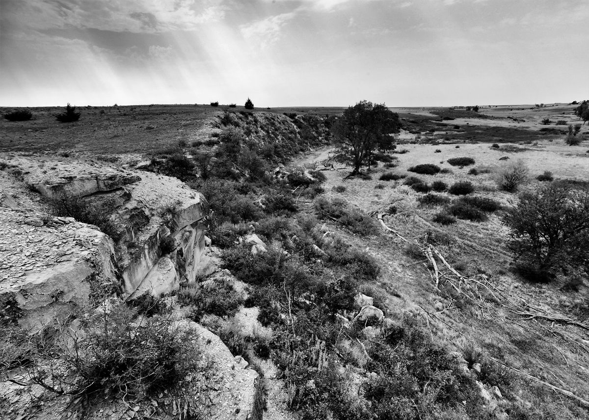
Cedar Bluff State Park is the gateway to a canyon noted for its historic significance. Threshing Machine Canyon, accessible by a road northwest of the mark, was the site of a station on Butterfield’s Overland Despatch (BOD) or the Smoky Hill Trail, called Bluffton Station. In 1867, a wagon train transporting a threshing machine to Brigham Young in Salt Lake City camped for the night beneath a bluff overlooking the canyon floor. A group of Native Americans attacked the encampment, killed the travelers and set the threshing machine on fire. Remains of the old burned machine could be seen for years. Today, you can see the charred pieces of the Threshing Machine at the Trego County Historical Museum.
Cedar Bluff State Park Reservoir and Wildlife Area
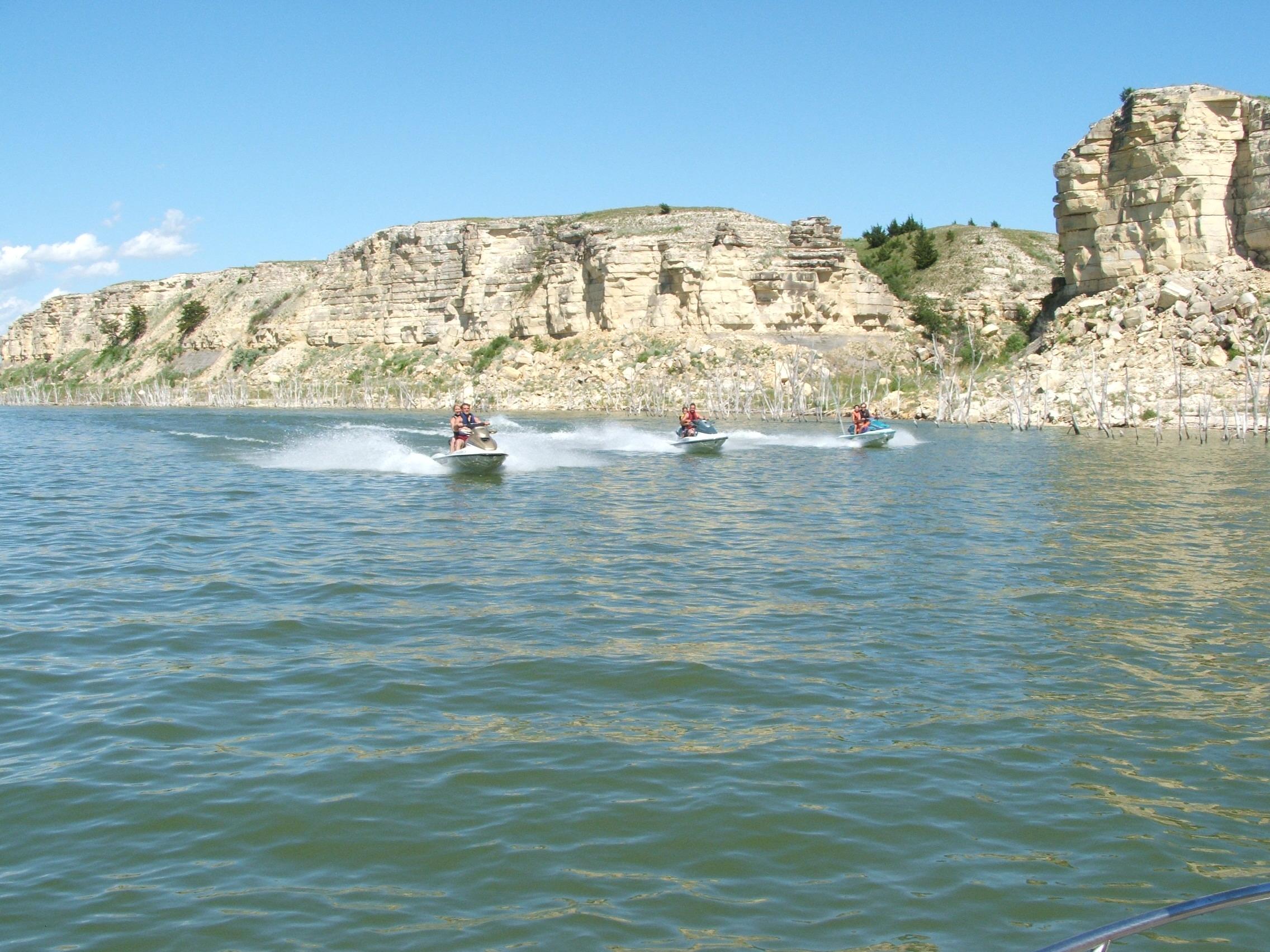
Cedar Bluff State Park is divided into two unique areas along the shorelines of Cedar Bluff Reservoir. The Bluffton Area on the North shore is quite developed with everything the outdoor enthusiast needs. The south side is known as the Page Creek Area and is nearly 500 acres in size. The south shore is not quite as developed but still provides the Agave Ridge Nature Trail and a 5-mile hiking/bike loop in the Page Creek Area. The reservoir itself was created in 1949 and is known for its excellent fishing. Read more about Cedar Bluff State Park.
Cedar Bluff Scenic Overlook
Cedar Bluff derives its name from the ½ mile of 100-foot chalk limestone bluffs rising along the south side of the reservoir. The bluffs are covered with native juniper trees which were misidentified by the early settlers as cedar trees. A rugged gravel road leads to the top of the bluffs and the scenic overlook. The scenic overlook provides a stunning, rustic setting for visitors. It offers a spectacular view of the area and is an ideal location to view area wildlife. The bluffs are located 4.2 miles east of Hwy 283 on Trego County Road AA. Turn north on Trego County Road 290 and the follow the signs to the top.
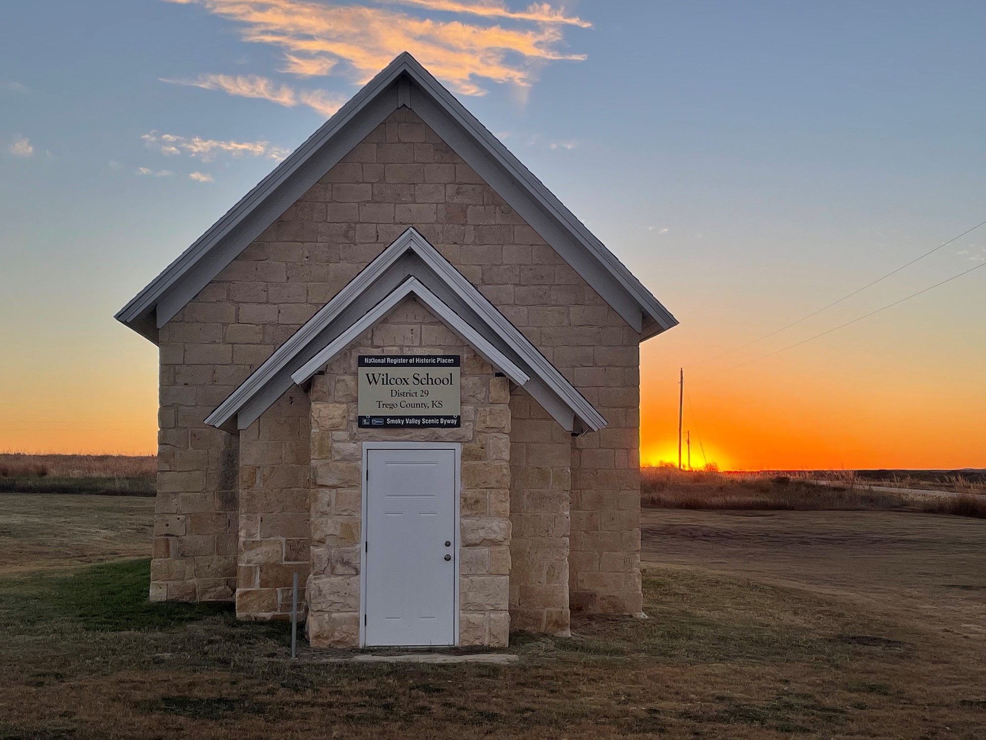
Wilcox School
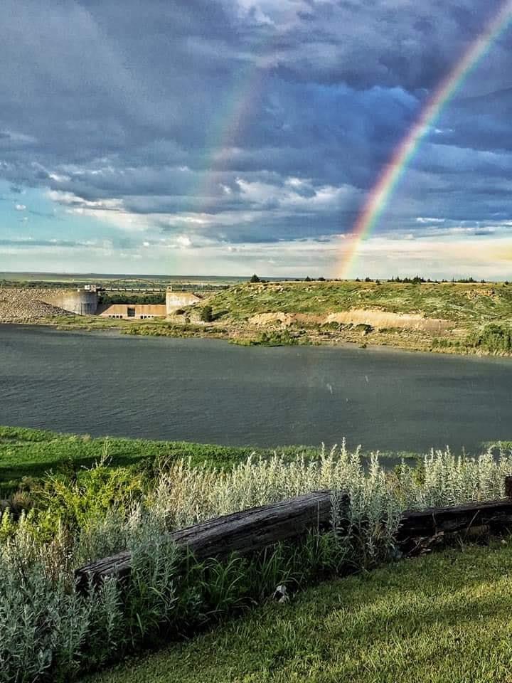
The Wilcox School – District 29 – is only one of a few remaining rural schoolhouses in Trego County. The school served Wilcox Township, a rural settlement approximately 16 miles south of WaKeeney, for sixty years. The early settlers worked together to organize this project and build the school in 1886 of native limestone, quarried along the Smoky Hill River, 1.2 miles south of the building site. The school was the hub of the community and used for many activities, such as church services, literary programs, draft registration, and township meeting hall. After the school closed in 1947, the building became the clubhouse of the Hi-Plains Gravel Grinders Motorcycle Club. This site is listed on the National Register of Historic places since 2006.
Zion Lutheran Church – Trego Center
The Zion Lutheran Church was organized in May 1905 by Volga-Germans, settlers of German descent who immigrated to this country from Russia. The Volga-German families lived in the Trego Center area, 9 miles south of WaKeeney on Hwy 283. The first church was dedicated in 1908. A new larger church was dedicated in 1920 and this building remains in use today. Services were originally conducted in German until 1947 when the English language began being integrated into worship. English became the exclusive language of the congregation in 1955. Services are held every Sunday morning.
